This article does not cite any sources. Please help improve this article by adding citations to reliable sources. Unsourced material may be challenged and removed.Find sources: "Noblesville Airport" – news · newspapers · books · scholar · JSTOR (March 2019) (Learn how and when to remove this template message)
Noblesville Airport | |||||||||||
|---|---|---|---|---|---|---|---|---|---|---|---|
| Summary | |||||||||||
| Airport type | Public | ||||||||||
| Location | Noblesville, Indiana | ||||||||||
| Elevation AMSL | 821 ft / 250 m | ||||||||||
| Coordinates | 40°00′12.6″N 085°57′52.3″W / 40.003500°N 85.964528°W | ||||||||||
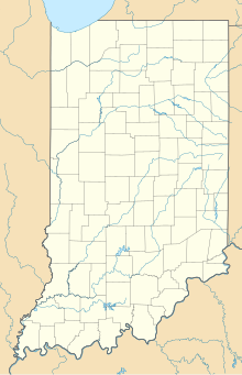
| Map | |||||||||||
| Runways | |||||||||||
| |||||||||||
Noblesville Airport (I80) is a privately owned, public use airport located in Noblesville, Indiana. The airport has a single turf runway that is 3580 ft × 100 ft. This airport has 24 single-engine airplanes and, on average, sees 134 flights per week.
