This article has multiple issues. Please help improve it or discuss these issues on the talk page. (Learn how and when to remove these template messages)
This article needs additional citations for verification. Please help improve this article by adding citations to reliable sources. Unsourced material may be challenged and removed.Find sources: "Grain Pole Hill" – news · newspapers · books · scholar · JSTOR (February 2024) (Learn how and when to remove this message)
The topic of this article may not meet Wikipedia's general notability guideline. Please help to demonstrate the notability of the topic by citing reliable secondary sources that are independent of the topic and provide significant coverage of it beyond a mere trivial mention. If notability cannot be shown, the article is likely to be merged, redirected, or deleted.Find sources: "Grain Pole Hill" – news · newspapers · books · scholar · JSTOR (February 2024) (Learn how and when to remove this message)
(Learn how and when to remove this message)
| Grain Pole Hill | |
|---|---|
| Highest point | |
| Elevation | 285 m (935 ft) |
| Geography | |
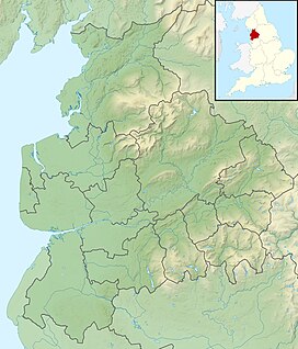
| Location | Chorley, Lancashire, |
| OS grid | SD624180 |
| Topo map | OS Landranger 109 |
Grain Pole Hill is a location on Anglezarke Moor, near Chorley, within the West Pennine Moors of Lancashire, England. With a height of 285 metres (935 ft), the summit provides views towards the Irish Sea.[1] It is located between Round Loaf and Pikestones, both of which are Neolithic remnants. Hurst Hill is less than half a mile away.

