Original file(558 × 609 pixels, file size: 36 KB, MIME type: image/jpeg)

This file is from Wikimedia Commons and may be used by other projects. The description on its file description page there is shown below.

Map of Provinces of Vanuatu. Created with DEMIS World Map Server[dead link]

License: http://www2.demis.nl/mapserver/DataSrc.htm archive copy at the Wayback Machine


Public domain This work has been released into the public domain by its author, DEMIS BV. This applies worldwide.
In some countries this may not be legally possible; if so:
DEMIS BV grants anyone the right to use this work for any purpose, without any conditions, unless such conditions are required by law.

Captions

Add a one-line explanation of what this file represents

Items portrayed in this file

depicts English

data size English

37,009 byte

height English

609 pixel

width English

558 pixel

media type English

image/jpeg

checksum English

2b0ccc404eeb3a42feae48f85f271c03130a8bbb

determination method English: SHA-1 English

File history

Click on a date/time to view the file as it appeared at that time.

Date/TimeThumbnailDimensionsUserComment
current00:10, 25 Julae 2005Thumbnail for version as of 00:10, 25 Julae 2005558 × 609 (36 KB)Taichi
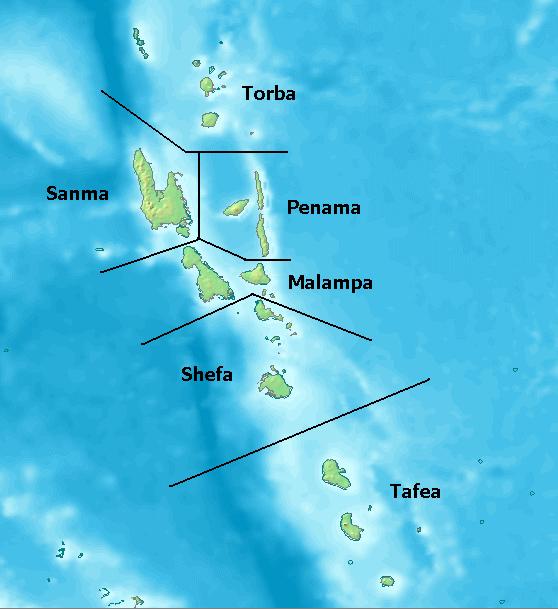
Map of Provinces of Vanuatu. Created with [ http://www2.demis.nl/mapserver/mapper.asp DEMIS World Map Server] License: http://www2.demis.nl/mapserver/DataSrc.htm ((PD)) Category:Maps

File usage

The following 6 pages use this file:

Global file usage

The following other wikis use this file:

View more global usage of this file.

Metadata

This file contains additional information, probably added from the digital camera or scanner used to create or digitize it.

If the file has been modified from its original state, some details may not fully reflect the modified file.

Kam long "https://bi.wikipedia.org/wiki/File:Vanuatu_Provinces.JPG"